Steep, airy – and unreasonably beautiful
Trails in Lofoten rarely ease you in: paths here tend to go straight up, and the reward is scenery you otherwise only see on postcards. Below is a selection of the finest day hikes, sorted by difficulty – with details on distance, elevation gain, parking and driving time from the base at Leknes. Everyone knows Reinebringen – but you'll also find a dozen other summits here that reward you just as richly, often with hardly anyone else on the trail.
Super easy: views without the climb
Not every day needs a summit. These deliver a lot of Lofoten for very little effort.
The Haukland–Uttakleiv coastal path
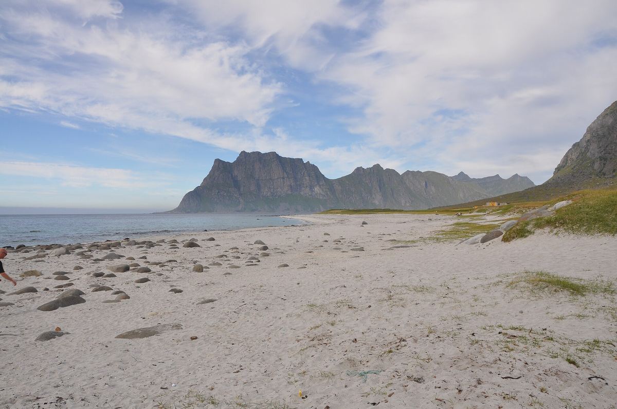
An easy coastal trail of about 4 km each way between two of Lofoten's finest beaches, around the foot of the mountain. Ocean on one side, rock wall on the other. Walk one way and return the short way through the tunnel.
The Unstad viewpoint
Just before the last tunnel into Unstad, a small road branches off up to the right. It ends at a viewpoint high above the surf village – a perfect photo stop without lacing up your boots.
The Unstad–Eggum coastal path
From the right-hand side of Unstad beach, a trail follows the sea all the way around to Eggum, about 5.3 km each way. Wild coastline the whole distance – and midnight sun straight ahead in summer.
Easy summits
Short hikes with big rewards – most of the family can manage these in decent weather.
Mannen · 400 m
The iconic view straight down onto Haukland beach – the one Lonely Planet named the best beach in Europe. Short, but airy in places and muddy after rain. Beautiful under the midnight sun, with the sun over Uttakleiv and the sea.
Parking: Haukland beach
Offersøykammen · 436 m
A 360-degree panorama of Nappstraumen, jagged peaks and turquoise sea – one of the hikes that gives you the most Lofoten per metre climbed. Clear trail all the way, plenty of room on top.
Parking: the Skreda rest area
Holandsmælen · 434 m
A quieter alternative to Mannen, with a fantastic view over Haukland. Gentler gradients than most of Lofoten, through a little forest and open terrain – good for young and old alike.
Parking: marked “Holandsmelen parking” in Google Maps
Nonstinden (Ballstad) · 459 m
A properly good view over Ballstad and the skerries beyond. A varied, entertaining hike with several route choices from Kræmmervika – signed along the way so you can avoid the airiest sections.
Parking: Kræmmarvika, west of Ballstad
Hoven (Gimsøy) · 368 m
The freestanding peak facing the open sea on Gimsøya – an easy trail with boardwalks over the bog and one of Lofoten's best midnight sun summits. Avoid the top in strong wind; the mountain stands alone and catches the full force of it.
Parking: by the golf course at Hov
Tjeldbergtind · 367 m
Svolvær's accessible classic with views over the town, Vågan and the sea – a summit that can be climbed nearly all year, and a fine winter favourite when the high mountains are unsafe.
Parking: Esso Osan or Svolvær centre
Djevelporten · 420 m
A sherpa staircase for the first half, then one of Lofoten's most photographed rock formations: the boulder wedged across the gorge, with the Svolværgeita pinnacle next door. Combine with Fløya for a longer day.
Parking: at the trailhead on Blåtindveien, Svolvær
Volandstind · 457 m
The pointed peak you see from the bridge to Fredvang. It looks dramatic from the front, but the trail up the back is safe and clear – a smart, quieter alternative when Offersøykammen fills up on a sunny day.
Parking: marked “Volandstind trail head” in Google Maps
Moderate hikes
A little longer, a little steeper, a little airier – and even bigger views.
Reinebringen · 448 m
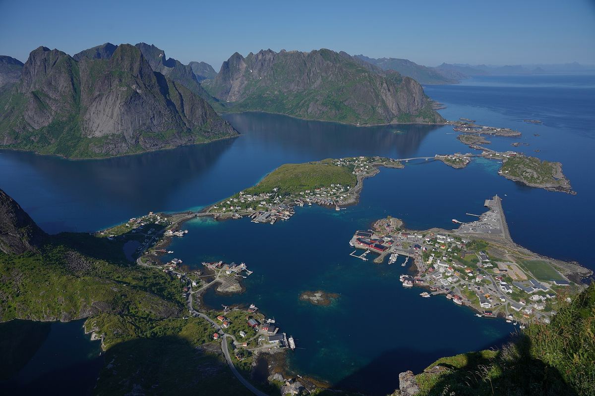
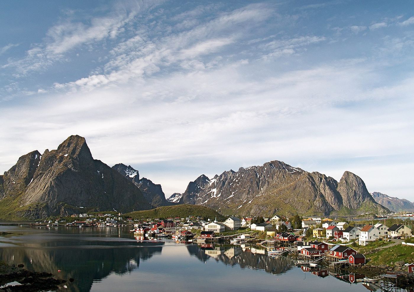
Lofoten's most famous view: Reine, the Reinefjord and the peaks behind. Since 2021 a sherpa staircase runs almost to the top – long and hard on the legs, but safe. Afraid of heights? The steps are broad and well defined, and the view over the Reinefjord opens up long before the summit – you decide how far you go. The platform at the top is small and exposed, so take care when it's crowded.
Parking: Reine centre; trailhead signed along the E10
Ryten · 543 m
The view straight down onto Kvalvika beach is among the most photographed in all of Lofoten. Start from Innersand by Fredvang for the gentlest gradient and best parking – and stick to the boardwalked trail; this landscape absorbs tens of thousands of visitors a year.
Parking: Innersand or Fredvang
Festvågtind · 541 m
The classic above Henningsvær – the whole fishing village laid out like a model landscape below you. Rocky and increasingly airy; its little neighbour Heia (210 m) gives half the effort and much of the same view.
Parking: “Festvagtind Car Park” on the road to Henningsvær
Himmeltindan · 962 m
The highest mountain on Vestvågøy – and one of the few “big” summits here that needs no climbing. A long, steady grind from Haukland beach all the way to the sky, with the whole island as your prize. Save energy for the steep descent.
Parking: Haukland beach
Skottinden · 671 m
The majestic peak above Ballstad. It looks sharp and steep from the road, but the back side has a good trail – steep yet manageable, with a little easy scrambling right at the end. Panorama over Ballstad and all of Vestvågøy, ideally with the midnight sun on the horizon.
Parking: along Sundsveien, west of Skottinden
Veggen · 489 m
Mannen's lesser-known big brother: one long, steep climb from Uttakleiv to a summit standing alone against the open sea. Perfect for sunrise, sunset and the midnight sun – and you'll often have the view of both Haukland and Uttakleiv entirely to yourself.
Parking: Uttakleiv beach
Demanding – for experienced hikers
Hikes that call for experience, good weather and plenty of time – and are more than worth it.
Mortsundrekka
The host's own favourite, right behind the neighbouring village of Mortsund: a continuous ridge traverse over the peaks behind the fishing village – up Middagstinden (363 m), along the crest to Breitinden (501 m, the highest point) and on over Ramtinden (371 m) towards Einangen. Sea views to both sides the whole way. Demanding and airy in places – for experienced hikers, in good dry weather, with time to spare. Want a taster first? Dronningtinden (473 m) from Mortsund is the gentle hike that suits most people.
The Lofoten Crossing – the whole archipelago on foot
In recent years, walking the length of Lofoten has become a goal in its own right. The route – usually called the "Lofoten Crossing" or "The Long Crossing of the Lofoten Islands" – runs from Delp on Austvågøya in the north-east to Å in the south-west: around 160 kilometres in 11 stages, with roughly 9,000 metres of total ascent.
Most hikers take between 8 and 13 days, depending on weather and fitness. The route is largely unmarked and alternates between alpine passes, bog, beaches and coastal paths; a realistic pace is a couple of kilometres an hour on the toughest sections. Between some stages you use buses or hitchhike along the E10, and on the Reinefjord you take the free boat shuttle between Reine, Vindstad and Kjerkfjorden. The season runs from June to September, when the trails are mostly snow-free and the days are long.
Accommodation is mostly wild camping under Norway's right to roam – there are only a few small, unstaffed huts along the way – and you resupply in Svolvær, Leknes, Napp and Ramberg. The route demands mountain experience, a map and GPS, and a generous weather margin: this is an expedition in miniature, not a marked tourist trail. Good, free stage descriptions with GPS tracks are available from Rando-Lofoten and on Wikivoyage.